Remote controlled boat
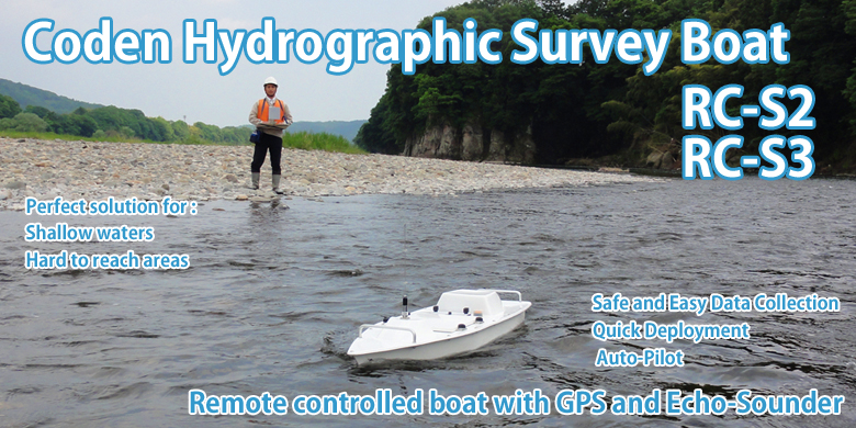
Product Introduction
RC-S3 Movie
Product Information
Usecase of remote controlled boat at shoal survey.
River
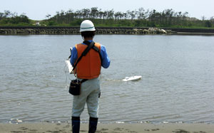
- Measure bottom shape changes of river with regular operation
- Understand circumstances inside and around river
- Survey environmental monitoring for river channel construction
Dam (lakes and marshes)
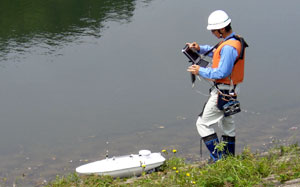
- Understand sediment amount of lakes and marshes by measuring sedimental changes
- Understand and control water quality or ecology of lakes and marshes
- Understand vegetation at the edge of lakes and marshes (camera observation)
- Understand habitation of animals and plants at lakes and marshes bottom (camera observation etc,)
- Survey current conditions of waterway for farming(rough terrain measurement)
Coast・Harbor
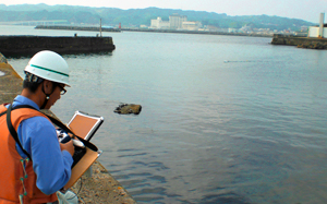
- Undestand sand supply conditions from coastal erosion or river
- Understand coast area circumstances (water condition, habitation)
- Understand torographic changes or water condition in harbor
- Survey environmental monitoring for shore protection or beach nourishment construction
- Understand current conditions inside or surface of wafer at harbor structure
Applications
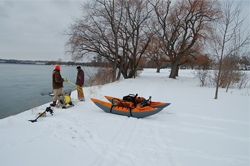
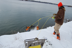
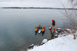
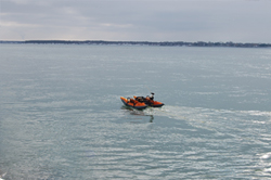
RC-S2 boat measurements rapid river at off limits area near Niagara Falls in USA.
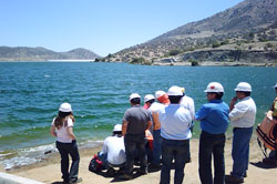
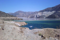
RC-S2 boat use for measuring quantity of depositted impurities in a dam that is made when copper refined. ( in Chile)
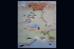
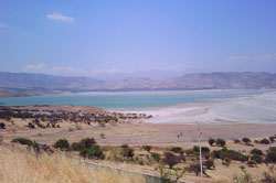
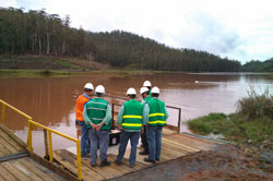
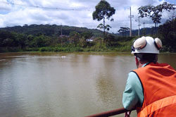
CPE in Brazil use RC-S2 boat measure for small dams and keep safety for managing dam of iron mine.
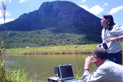
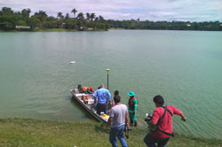
The University of Zambia use RC-S2 boat to study water quantity for 400 small dams at Lusaka area
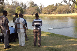
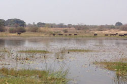
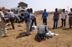
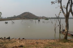
Coden hydrographic survey remote controlled boat is using for various management systems of water.
Related Software
| 株式会社 ISP | Integrated Software Products |
|---|---|
 |
Download RC-S2Converter Download EchogramConverter |
|
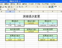
Measured length conversion software
|
Download (excel) |
Brochure
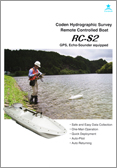 RC-S2 Brochure |
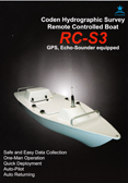 RC-S3 Brochure |
Remote Controlled Boat : Spec Sheet
| Boat | RC-S2 | RC-S3 |
|---|---|---|
| Lenght | 1,060mm | 1,200mm |
| Width | 270mm | 350mm |
| Height | 250mm(excluding antenna) | 250mm(excluding antenna) |
| Weight | 9.3Kg(13Kg with batteries) | 13Kg13Kg(16Kg with batteries) |
| Power Train | ||
| Motor | Brushed DC motor x 2 | Brushless DC motor x 2 |
| Max speed | 2.8kt. | 4.5kt. |
| Power supply | Ni-MH battery 10Ah×2 | Li-ion battery 20Ah×2 |
| Continuous sailing time | 120 minutes(still water、Autonomous navigation) | 210 minutes(still water、Autonomous navigation) |
| Auto Pilot | ||
| Boat speed | 2.0kt. | 2.0kt. |
| Line survey | Max 128 lines per project | Max 128 lines per project (Advanced control) |
| Target survey | Max 255 points per project | Max 255 points per project |
| echo sounder | ||
| Echo Sounder | 200KHz | 200KHz |
| Depth range | 0.5m~80m | 0.5m~80m |
| Resolution | 0.01m | 0.01m |
| Gain control | Manual(H、L 20 leves) | Manual (H、L 20 levels) |
| Beam width | 6°(3°per side) 24°(12°per side) |
6°(3°per side) |
| GPS | ||
| Positioning accuracy | SBAS(<0.5m) | SBAS(<0.5m) |
| Positioning resolution | 1/10000 sec(about 0.03m) | 1/10000 sec(about 0.03m) |
| Communications | ||
| Method | 2.4GHz wireless LAN | 2.4GHz wireless LAN |
| Operation range | 500m | 800m |
| Data sampling | 1 time/1 sec | 1 time/1 sec |

